

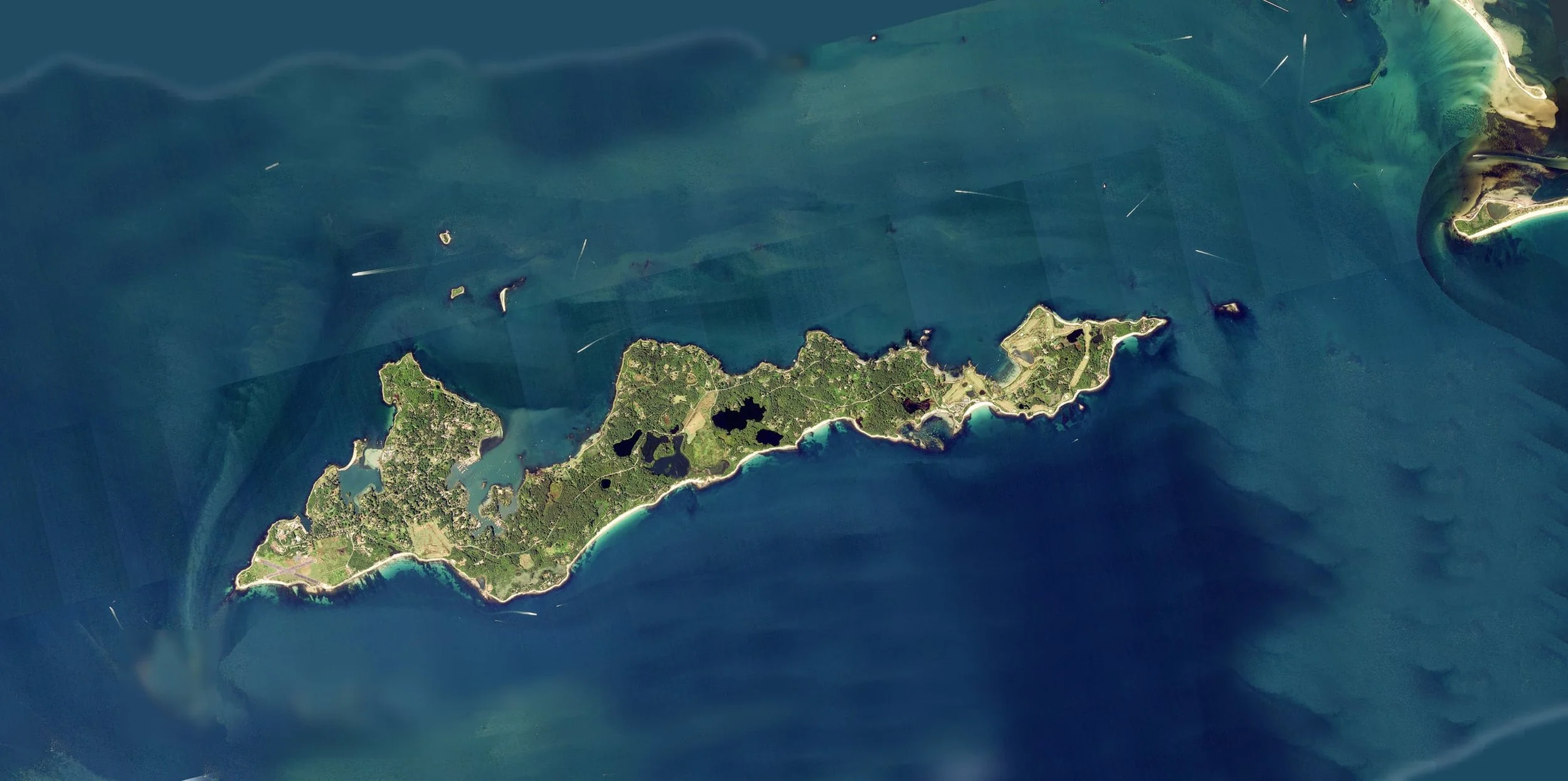
Fishers Island Satellite Imagery
This gallery contains high-resolution (50-cm) satellite photos of Fishers Island, taken beginning in the Spring of 2024. This ongoing project by the Fishers Island Seagrass Management Coalition maps eelgrass areas around the island, standardizing for tide, sun angle, and weather conditions.
Please enjoy this gallery as we chronicle our island throughout the seasons and years!
OpenSeadragon image viewer © OpenSeadragon contributors, used under the BSD 3-Clause License.
Copyright © Fishers Island Seagrass Management (FISM) Coalition. All rights reserved.
The satellite images displayed on this website are the property of Fishers Island Seagrass Management (FISM) Coalition and are protected by United States copyright law and other applicable intellectual property laws. No image may be copied, reproduced, distributed, published, transmitted, displayed, or used in any form without prior written permission from FISM, the Fishers Island Seagrass Management Coalition, except as permitted by law.
For permission to use images from this collection, please contact us here.